UN
8 Liswerry Road
£ 110,000
Description
We don't have a Description for this property.
- Bedrooms
- 2
- Bathrooms
- 0
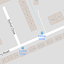
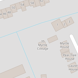
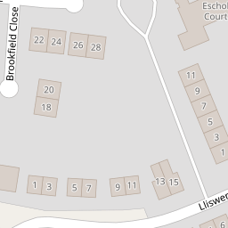
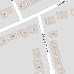
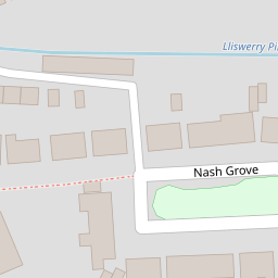
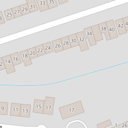
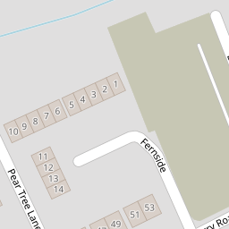
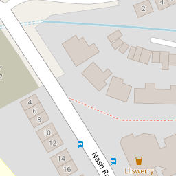
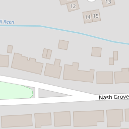

Leaflet © OpenStreetMap contributors
The heatmap indicates the level of crime in the area. The color of the heatmap indicates the crime severity and recency.
Metrics Year-on-Year
- Average area value
- 400,449.00 £Increased by 9.05 %
- Average area rental value
- 1,078.00 £/moDecreased by 1.73 %
- Est rental Yield
- 3.23 %Decreased by 9.78 %
- Crime Rate
- 2.00 %Unchanged by 0.00 %
from 367,227.00 £
from 1,097.00 £/mo
from 3.58 %
from 2.00 %
Nearby Schools
| Name | Type | Ofsted | Distance |
|---|---|---|---|
| Alway Primary | Welsh Establishment | 0.73 KM | |
| Somerton Primary School | Welsh Establishment | 0.80 KM | |
| Lliswerry High School | Welsh Establishment | 1.14 KM | |
| Catch22 Include Wales | Welsh Establishment | 1.19 KM | |
| St Patrick'S R.C. Primary School | Welsh Establishment | 1.27 KM |
Images
Nearby Streets
| Name | Average Price | Average Sqft | Distance |
|---|---|---|---|
| Lliswerry Road | £ 248,564 | 0 | 0.00 KM |
| Armstrong Close | £ 159,950 | 0 | 0.00 KM |
| Giltar Court | £ 225,000 | 0 | 0.00 KM |
| Frobisher Road | £ 230,000 | 0 | 0.00 KM |
| Moorland Avenue | £ 221,250 | 0 | 0.00 KM |
Nearby Transport
| Name | NLC | TLC | Distance |
|---|---|---|---|
| Newport (South Wales) | 3674 | NWP | 4.99 KM |
| Pye Corner | 1663 | PYE | 9.00 KM |
Nearby Listings
| Address | Price | Type | Score | Distance |
|---|---|---|---|---|
| Nash Grove, Newport, NP19 | £ 200,000 | BUY | 6 / 10 | 0.11 KM |
| Nash Grove, Newport, NP19 | £ 250,000 | BUY | 6 / 10 | 0.12 KM |
| Pear Tree Lane, Newport | £ 450,000 | BUY | 7 / 10 | 0.14 KM |
| Nash Grove, Newport, NP19 | £ 230,000 | BUY | Unknown | 0.18 KM |
| Nash Grove, Newport, NP19 | £ 220,000 | BUY | Unknown | 0.18 KM |
Nearby Properties
| Address | Price | Distance |
|---|---|---|
| 42 Liswerry Road | £ 247,000 | 0.00 KM |
| 13 Liswerry Road | £ 82,500 | 0.00 KM |
| 48 Liswerry Road | £ 158,000 | 0.00 KM |
| 6 Liswerry Road | £ 142,000 | 0.00 KM |
| 38 Liswerry Road | £ 150,000 | 0.00 KM |